


Curry County Precinct 34, Curry County, New Mexico
About
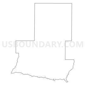
Outline
Summary
| Unique Area Identifier | 623372 |
| Name | Curry County Precinct 34 |
| County | Curry County |
| State | New Mexico |
| Area (square miles) | 84.74 |
| Land Area (square miles) | 84.66 |
| Water Area (square miles) | 0.08 |
| % of Land Area | 99.90 |
| % of Water Area | 0.10 |
| Latitude of the Internal Point | 34.76348190 |
| Longtitude of the Internal Point | -103.34676150 |
Maps


Graphs
Select a template below for downloading or customizing gragh for Curry County Precinct 34, Curry County, New Mexico


Neighbors
Neighoring Voting District (by Name) Neighboring Voting District on the Map
- Curry County Precinct 1, Curry County, NM
- Curry County Precinct 16, Curry County, NM
- Quay County Precinct 2, Quay County, NM
Top 10 Neighboring County Subdivision (by Population) Neighboring County Subdivision on the Map
- Clovis CCD, Curry County, NM (46,853)
- Tucumcari CCD, Quay County, NM (7,014)
- San Jon CCD, Quay County, NM (479)
- Broadview CCD, Curry County, NM (405)
- House-Forrest CCD, Quay County, NM (298)